
Chattanooga Neighbors by Parcel
Public records around a Chattanooga address describe land, recorded parties, historical listings, or civic geography. They do not create a verified neighbor list. The most useful starting point is the map parcel, followed by the Assessor and Trustee records for that parcel. Use the Register for a recorded-property question, the library for a past block, and the City association map for civic context. Each has a distinct limit.
| Source | What it shows about a block | Access |
|---|---|---|
| GISMO/ZIMS | Visible parcels and layers around a selected parcel or buffer | Hamilton County mapping products |
| Assessor and Trustee | Assessed owner, situs, mailing, tax, and parcel context | Free Assessor and Trustee searches |
| Register chain | Recorded parties, plats, and legal-description changes | Account search, counter, or detailed request |
| Neighborhood Association Map | Registered association geography and City support route | Chattanooga association map |
| Library local history | Historic directories, maps, photos, clippings, and neighborhood files | Local History & Genealogy room and digital collections |
Chattanooga GISMO, Chattanooga ZIMS, Chattanooga Assessor, Chattanooga Trustee, Chattanooga Register, Chattanooga Library, and Chattanooga Neighborhood Services each preserve a different kind of block context.
An owner listed for a parcel may receive correspondence somewhere else. A parcel boundary also does not describe a social connection, a household, or permission to contact anyone. Those limits should remain clear whenever Chattanooga neighbors are researched from public sources.
Chattanooga Neighbor Buffer Method
Hamilton County's GIS workflow provides a specific way to inspect nearby parcels. Use GISMO and the ZIMS guide to locate a target by address, owner name, or tax map number. Then choose Identify Point or Identify Area. The guide documents a Selected Parcels buffer, a distance and unit choice, visible-layer results, a layer drop-down, Table View, and download controls. The selected parcels are outlined in red.
Chattanooga GISMO address search, Chattanooga ZIMS selection, Chattanooga Selected Parcels buffering, Chattanooga distance settings, Chattanooga layer controls, Chattanooga Table View, and Chattanooga downloads are the documented local map steps.
This is a parcel-adjacency method, not a people finder. It lets a researcher see what public map layers are around the selected parcel. Open each returned parcel separately in the Assessor or Trustee record before deciding whether a result belongs to the correct block.
- Find the target address and note its Map/Group/Parcel or State Grid reference.
- Identify the parcel in the map and choose Selected Parcels in the buffer tools.
- Enter the documented distance and unit, then review the visible parcel layer in Table View.
- Open candidate parcels in the Assessor and Trustee searches, keeping situs and mailing fields distinct.
- Use the Register only when a recorded party, plat, or legal description is needed.
For a longer named-road trail, the Chattanooga street directory follows the address chain beyond the immediate block.
Chattanooga Parcel Names and Mail
The Assessor's search accepts Street Name, Street Number, Parcel, or Owner. A street name alone can return a wide set, and its help warns that a short name can match embedded strings. Add a stored suffix or number to narrow the result. Owner input uses one Last First field, and partial surnames expand results. A listed joint owner can be absent from the owner-index search because the system follows the first named deed owner.
The Trustee gives a second local view with State Grid or map-group-parcel, last name, bill number, and property address paths. Its documented sample fields include property address, owner names, mailing address, district, and tax information. The difference between situs and mailing fields matters. A mailing address is a tax correspondence fact. It does not show who lives on the block.
Chattanooga Assessor fields, Chattanooga Trustee fields, Chattanooga situs fields, Chattanooga mailing fields, Chattanooga State Grid references, and Chattanooga legal descriptions must be read independently.
- Parcel
- A defined tract in the county assessment system, identified separately from a street address.
- Situs address
- The location assigned to the parcel or structure for the record.
- Mailing address
- The address used for correspondence, which can differ from the situs.
- Legal description
- The lot, block, subdivision, or metes-and-bounds wording in a recorded instrument.
Chattanooga Neighbor Map Layers
Four different Chattanooga geographies can overlap without matching: a postal ZIP, City limits, a community association boundary, and the parcel itself. The County's GIS information and the Assessor's address contacts are the right local route for an unclear official road name or number. A ZIP label does not decide City jurisdiction, and the community map is not a survey boundary.
This distinction has a historical side. Chattanooga annexed St. Elmo, Missionary Ridge, Alton Park, North Chattanooga, Brainerd, and Riverview in 1929. An old directory or newspaper may use a locality label that differs from a modern mailing label. Preserve the older name when searching library records, maps, and plats rather than assuming one current City name covers every date.
Chattanooga ZIP polygons, Chattanooga City limits, Chattanooga parcel outlines, Chattanooga association boundaries, Chattanooga historic localities, and Chattanooga postal labels answer separate map questions.
Chattanooga Neighborhood Association Maps
Chattanooga Neighborhood Services maintains a map, a published list of registered associations, a registration route, a handbook, and district-based staff support. Its public association feature service has 104 active features, but the exposed fields are limited to display name, status, and map link. That is useful for finding civic context around a block. It is not a membership list or proof that any person lives within the shape.
Chattanooga Neighborhood Associations is the City route for the map and district contacts.
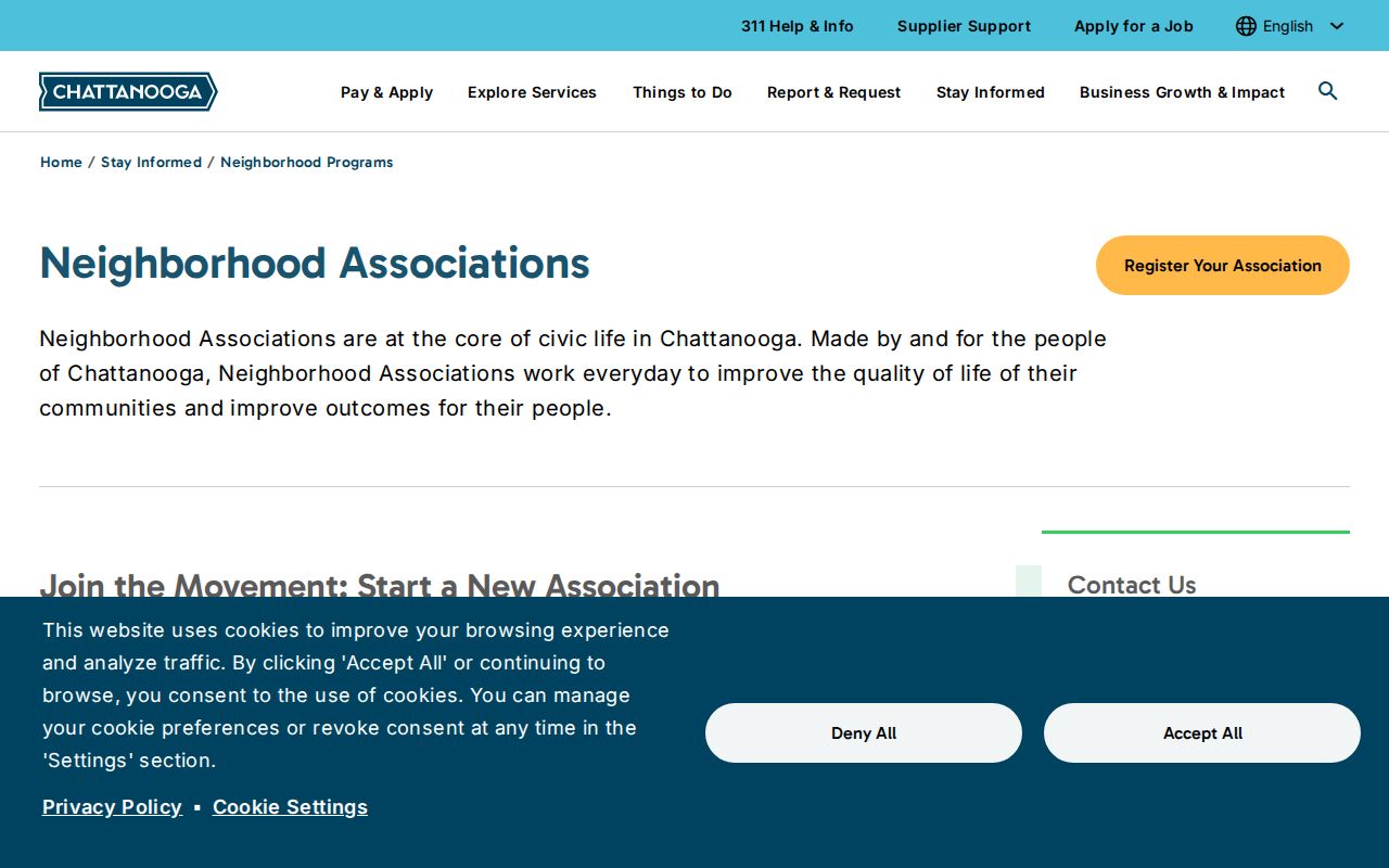
Chattanooga Neighborhood Services, Chattanooga association features, Chattanooga map links, Chattanooga district staff, Chattanooga association status, and Chattanooga civic context are the documented public map layer.
Use the map to identify a local association and its City liaison, then contact the organization through its own public channel for participation information.
| St. Elmo, Fort Wood, Ferger Place | Historic neighborhood names present in the City association context and library files. |
|---|---|
| Highland Park, North Chattanooga, Missionary Ridge | Community-map context only; boundaries are informational. |
| East Lake, Glenwood, Riverview, Bushtown | Examples of active community names, not household rosters. |
| City contact route | Neighborhood Services assigns relations specialists by City Council district. |
Map a Chattanooga Block
Move from the target parcel outward in stages. The Assessor establishes the current assessment record. The Trustee adds tax context. The Register's document index can then connect a parcel or sales reference to a recorded party, legal description, plat, or book and page. The Register's electronic search needs an application and a $50 monthly account, so the Room 400 counter, phone, email, and a detailed request remain important alternatives.
Chattanooga Assessor sale references, Chattanooga Register Quick Search, Chattanooga book-and-page records, Chattanooga party searches, Chattanooga microfilm, and Chattanooga counter inspection are separate recorded-property routes.
Register party searches default to July 1, 1969 forward. Its Quick Search pulls Assessor sales information to start a title chain, while Book & Page, Property, Party/Property, Index, and Document modes offer other entry points. An instruction marked “SEE MICROFILM” means the record is not electronic and may require counter help or a microfilm copy. Those channels are about recorded-property history, not a current-neighbors list.
Chattanooga Neighbor Tools Compared
Official local records tie a result to a custodian, date, and defined record purpose. Commercial compiled neighbor tools can combine old or mismatched material and often do not show the originating record or its update date. For a block question, the official method is slower but lets you distinguish a parcel owner, a historical listing, a registered association, and a recorded party.
| Approach | Best use | Key limitation |
|---|---|---|
| County parcel and tax records | Identify a specific assessed parcel and owner field | Does not identify all people at the address. |
| GIS buffer and association map | Understand adjacent parcels and civic geography | Map proximity is not a personal relationship. |
| Compiled commercial category | General lead only, if used lawfully | May be outdated, conflated, or disconnected from a custodian. |
Chattanooga Assessor corrections, Chattanooga Register corrections, Chattanooga court records, Chattanooga City records, Chattanooga custodian dates, and Chattanooga source references remain more reliable than a compiled display.
For a documented correction, go to the Assessor, Register, court, or other originating custodian. Removing a private display does not correct an official record, and Tennessee's Information Protection Act does not erase lawful public records.
Chattanooga Historic Block Context
For a past block, use the Chattanooga Public Library's Local History & Genealogy collection after the parcel work. Its city directories run from 1871 to 2008, with gaps in 1873 to 1875, 1877, and 1879. Pre-1938 volumes are on microfilm, and the 1871 to 1960 run is available through Ancestry Library Edition at library branches. A dated listing is historical evidence, not a current address claim.
Chattanooga directory volumes, Chattanooga microfilm, Chattanooga branch access, Chattanooga maps, Chattanooga plats, Chattanooga newspapers, and Chattanooga neighborhood files are date-specific local sources.
The library also holds maps, plats, newspapers, clipping files, Sanborn materials, and neighborhood files for places including Fort Wood, St. Elmo, and Ferger Place. The Library of Congress's 1917 Chattanooga Sanborn set, republished in 1955, has 99 sheets. A map sheet can date or describe a physical site only if it covers the address. Pair it with a directory edition, a recorded document, or a newspaper date instead of treating it as occupancy proof.
Protect Chattanooga Neighbors
Public parcel data does not disclose every occupant, utility customer, delivery record, protected person, or private household relationship. Tennessee Safe at Home gives eligible participants a substitute address under Tenn. Code Ann. §§ 40-38-601 et seq., and court, juvenile, adoption, and other records can have separate restrictions. Do not use individual voter forms as block browsers or try to work around protected-address rules.
Keep a block search narrow and tied to a legitimate address, parcel, date, or historic research question. Preserve the source and access date. If an error appears, ask the original custodian about correction. A map or name match should never be used to expose, monitor, confront, threaten, or target another person.
Chattanooga Safe at Home protections, Chattanooga court restrictions, Chattanooga juvenile restrictions, Chattanooga protected-address rules, Chattanooga parcel limits, and Chattanooga map limits must be respected.
Lawful use. Chattanooga neighbors research is for personal, lawful context. Never use public records or map results to stalk, harass, intimidate, or harm anyone.